In search of Mulberry Grove…
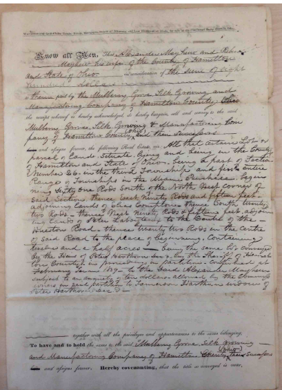
Copy of the original deed
Where exactly was Charles Cheney’s farm, and the house that served as one of Mt. Healthy’s waystations on the Underground Railroad? Local lore varies on the location: one account has it near the old school site at Harrison and Compton. Another says it was near the north end of Mt. Healthy, close to the present day Mt. Healthy Christian Home. Yet a third places the Cheney land down on the south end, close to the Cross County Highway. We started out with the copies of the deeds that we possess, and asked a surveyor friend to map the land, if she could. There were errors to contend with right away: the hand-copied deed listed it in the wrong section of the township.
(“What’s a Section?” Wikipedia explains: The importance of “sections” was greatly enhanced by the passage of “An Ordinance for ascertaining the mode of disposing of lands in the Western Territory” of 1785 by the U.S. Congress (see Land Ordinance of 1785). This law provided that lands outside the then-existing states could not be sold, otherwise distributed, or opened for settlement prior to being surveyed. The standard way of doing this was to divide the land into sections. An area six sections by six sections would define a township. Within this area, one section was designated as school land. As the entire parcel would not be necessary for the school and its grounds, the balance of it was to be sold, with the monies to go into the construction and upkeep of the school.)
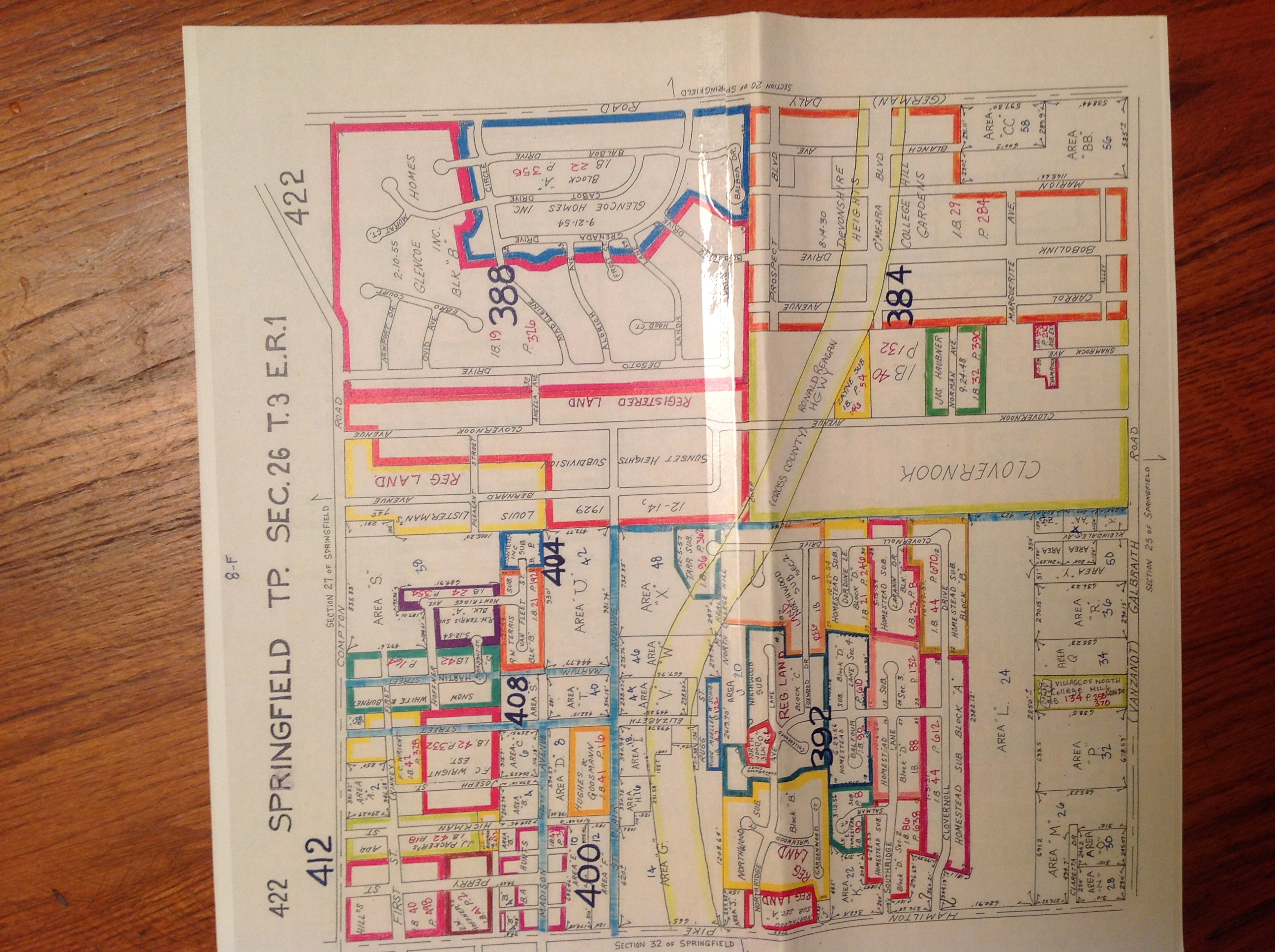
One of the tax maps showing subdivisions in Mt. Healthy. This map uses the old name: Hamilton Pike.
In addition to the deed, she consulted Hamilton County tax maps to see if any later parcels sort of aligned with anything in the deed description. This helped to identify and correct for errors introduced into the copies of the deeds, the result of human error during the many recopyings by hand, in days before photo or image capture technology.
The deeds did not use old, quaint property markers, such as a particular tree to mark a boundary. They did use units of measurement unfamiliar to our modern ear: chains, links, rod/pole, perch. A chain was composed of 100 links of specified length, so that 80 chains = 1 mile. At the time , those were probably considered quite modern improvements over the Kentucky windage approach of using marker trees, fences and boulders.
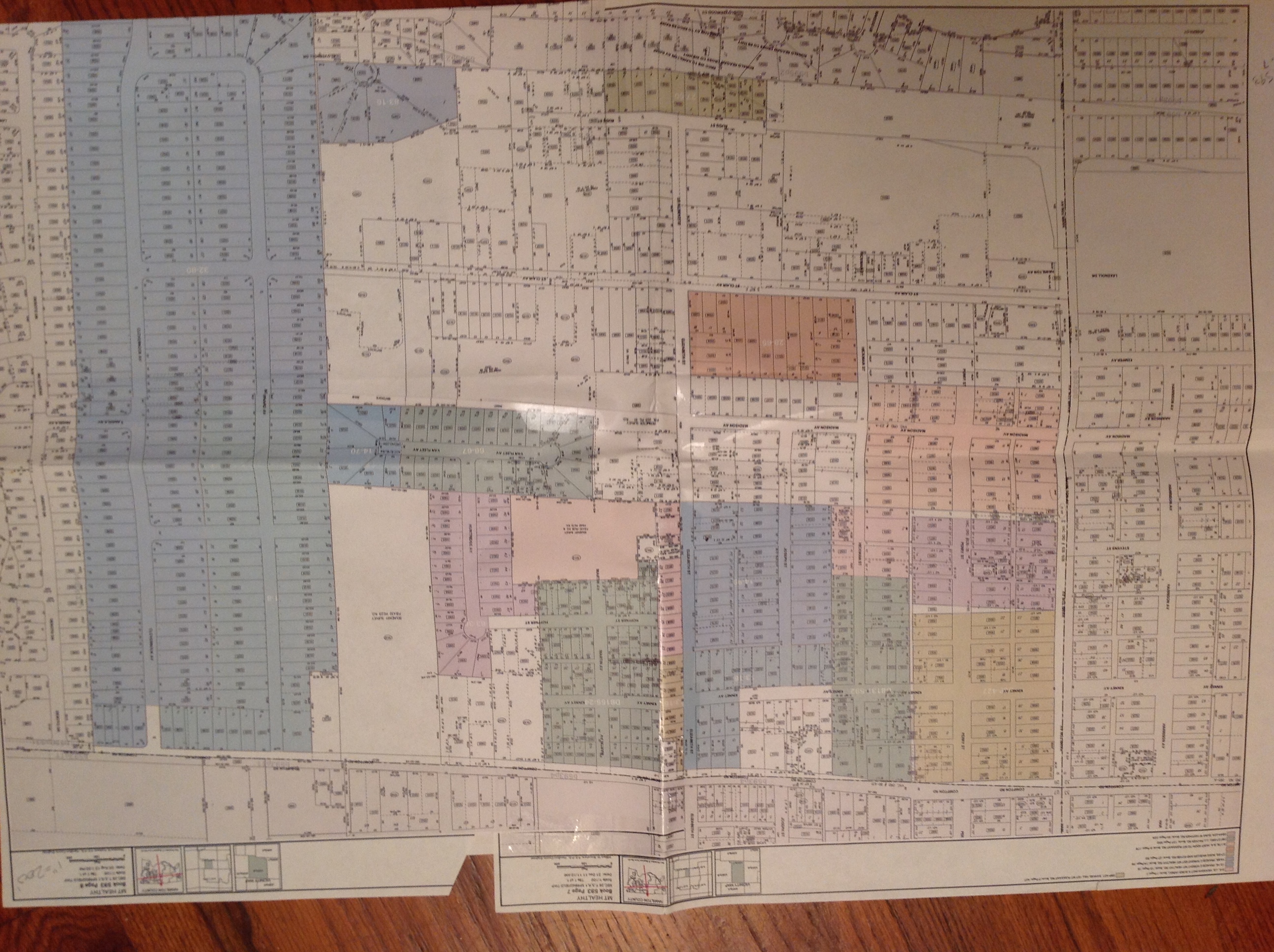
Plat of Mt. Healthy and beyond
The surveyor looked for any easily identifiable starting point in the land description: for example, if the northwest corner of Section 26 was mentioned, this is a fixed and easy point to find, and from there, she mapped out the shape of the lots based upon the chains and links descriptions in the deed. P.O.B. is surveyor’s parlance for Point Of Beginning, that reference point which is an indisputable starting point for mapping the parcel. She used a computerized plotter to print the map of the Cheney properties exactly to the scale of the tax maps, and overlaid them. Lo and behold, there it was: the location of the Cheney farm and Mulberry Grove! We don’t know if any of the Cheney buildings still might be standing, or where precisely they were, but knowing that between Madison and Cross County Highway, east from Hamilton to Bernard was where the Cheneys once lived and where they sheltered fugitives helps to fire the imagination.

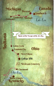
Plot of Cheney property
The County Recorder is the repository of property deeds and the Auditor houses tax maps, should you want to try searching for a property.
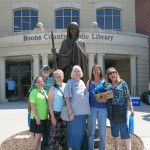
Thanks to Renana Gross, expert surveyor, for her forensic survey work.
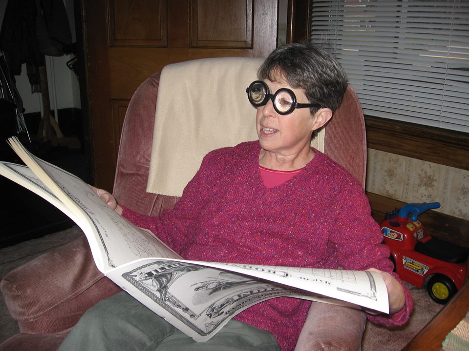
Renana Gross, professional surveyor
 Previous Post
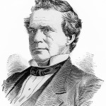 Next Post
Great detective work on finding the Chaney Mulberry Grove. I didn’t realize how land was surveyed in the 19th century–so glad to learn more about that. Charles Chaney is starting to come to life as a very important early citizen of Mt. Healthy. Keep digging–I’m sure there is more to be found!